Vancouver Skytrain Excursions
Old Vancouver Townsite
Walking Tour of
The Downtown East Side
Canada's Poorest Postal Code
Featuring The Carnegie Mosaics
'Footprints' Community Art Project
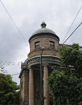
The landmark Carnegie Tower
This walking tour mosaic art project was funded by Western Economic Diversification Canada through the Vancouver Agreement involving federal, provincial and municipal governments. It's aim was to improve the social and economic conditions of Vancouver communities with a focus on the Downtown Eastside (DTES). The Carnegie Community Centre Association, via their Street Program, designed, managed and operated the Footprints Project as a community art project.
These mosaics portray the unvarnished truth just like the Downtown Eastside. Many believe that the Downtown Eastside is synonymous with 'Skid Row' but the DTES also includes the neighbourhoods of Gastown, Strathcona, and Chinatown.
Italics describe the mosaics, red text describes the related old townsite history, black text is commentary, and the blue text gives directions to the next mosaic (each map has compass markers too). Notwithstanding the map above, there's no strict route to traverse, however, and the area is generally between the Waterfront and Stadium Chinatown Skytrain stations.
It should be noted that "poorism" (aka. slum tourism) can be prone giving rise to homeless residents feeling humiliation, victimization, and zooification if gauking becomes too obtrusive. This is their living room and, if they are treated like entertainment attractions it can be considered to be a non-consensual intrusion and privacy rights violation. Please be discreet and kind to all of God's children.
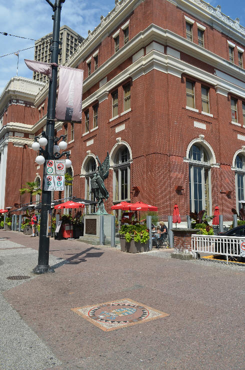
The tour starts at the Southeast corner of the old CP Rail station, now the Waterfront Skytrain Station, not far from the Bronze Angel statue. Seymour Street runs nearby.
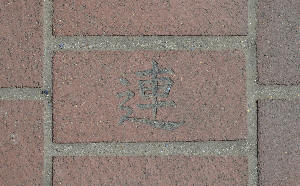
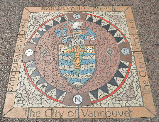
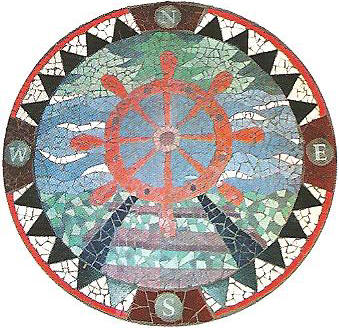
Starting Point Mosaic
1. The City of Vancouver, Cordova at Seymour
A crest. A ship in full sail, pennon flying straight. In the green, centered wedge, a totem. Dogwood blossoms above wavy blue and white ocean.
We have a city: Vancouver.
When Captain George Vancouver arrived here he found a Spanish vessel already at harbour. Uncharacteristically civil for the time they had a meeting and decided to divide the exploration. Hence we have Spanish Banks in the south and British Properties in the north. Notwithstanding that the city eventually took on Vancouver's name there are still places around like Cordova Street that bespeak a shared Spanish origin.
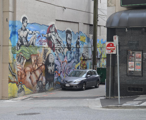
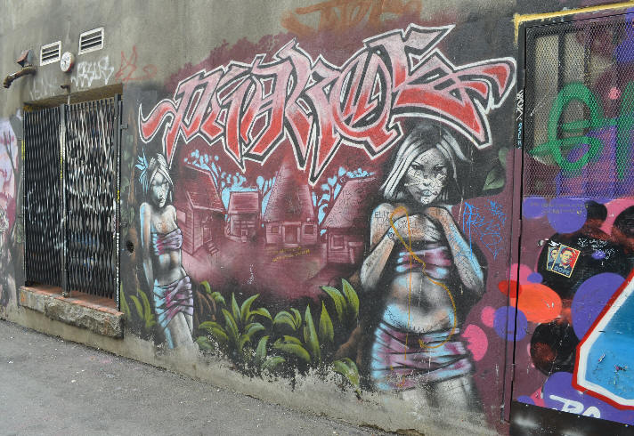
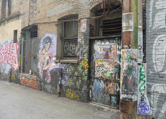
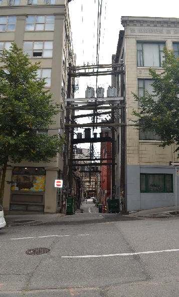
Rather than taking the mainstream tour of Gastown let's check out some amazing alleyway artwork instead. Start out heading east and (don't follow the map) turn north up Richards.
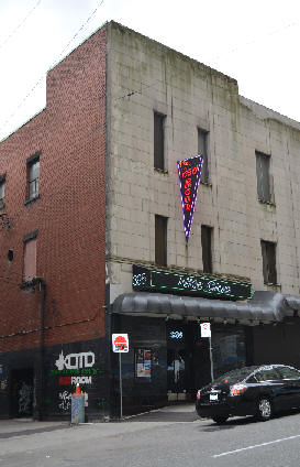
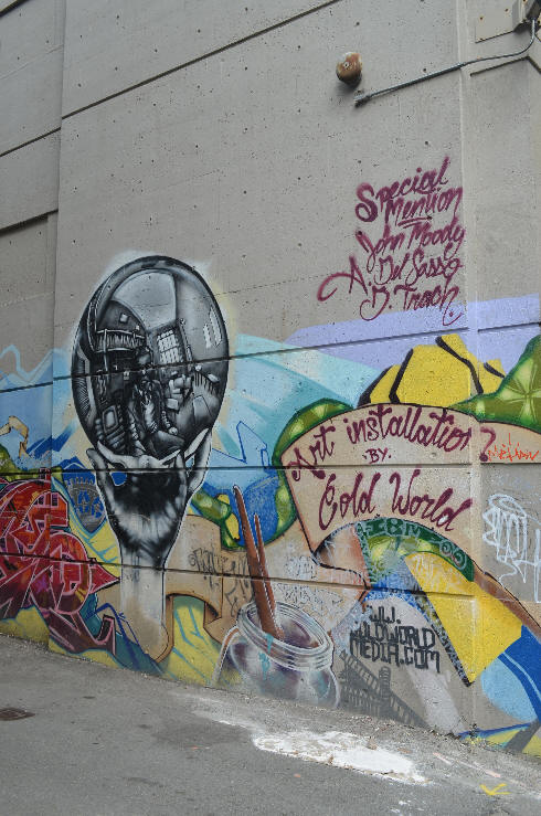
Just up Richards, the Cold World Alley begins, on the left, by The Red Room Night Club.
The entrance to the "Cold World" mural.
A number of movies and TV shows have been shot in here. These photos are circa 2014.
The nite club's message to the street.
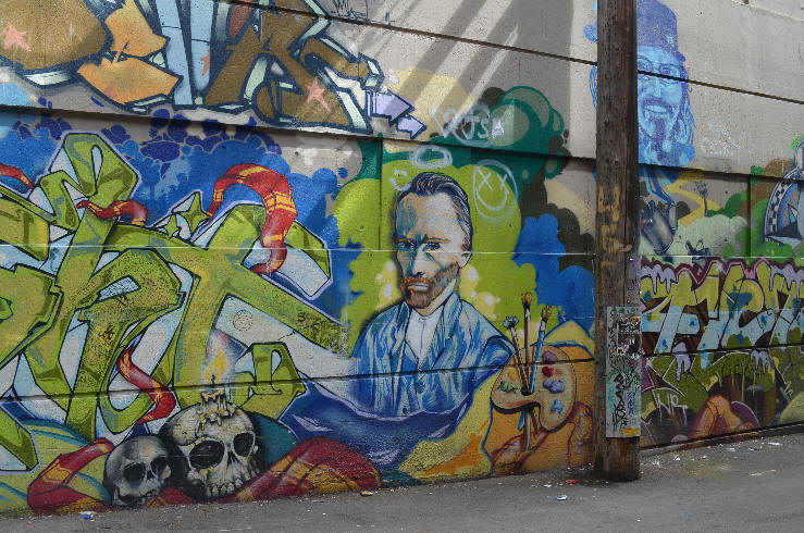
It looks like some, if not all, of the faces featured here are famous artists. See Van Gogh, in his own style, with his palette, above.
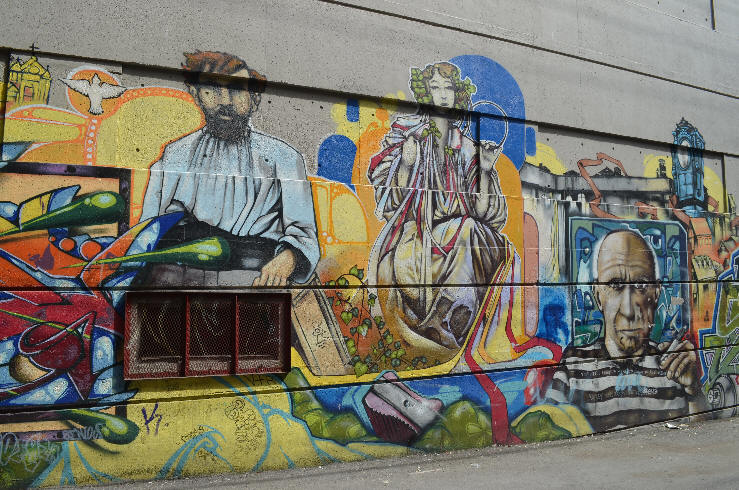
Pablo Picasso on the right.
This garage door Spirit Lodge is a highlight.
This tag appears to read "theme"...
...but what does this one say? ...GRATeaRT?
...and this one? Strange?
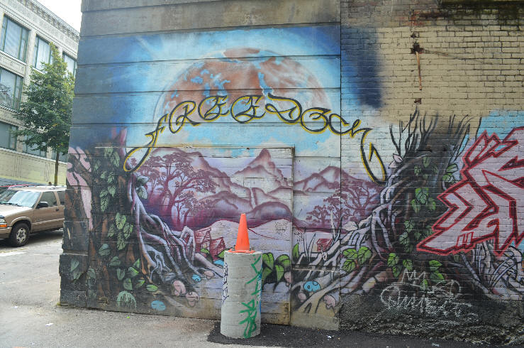
Freedom
This first alley is signed on both ends by Cold World Media.com. This was a City of Vancouver initiative with $10 million in B.C. government funding. Their murals, and accompanying tours, were created to celebrate British Columbia's 150th anniversary in 2008. The images celebrate the culture, heritage and history of Vancouver's first urban areas just as this mosaic walking tour does.
Head straight across through the next alley.
A Simpsons-themed parking lot with the Dominion building rooftop in view. More.
An alcove
The exit.
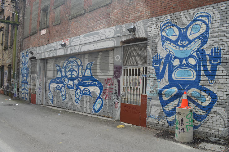
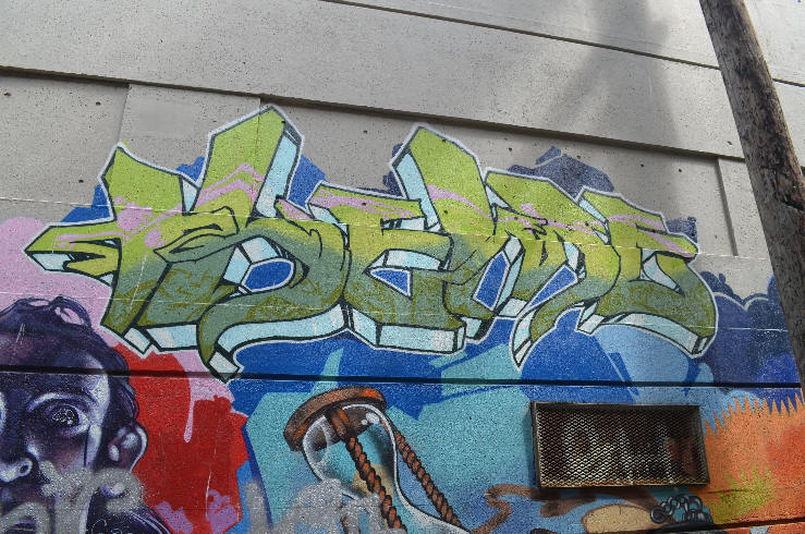
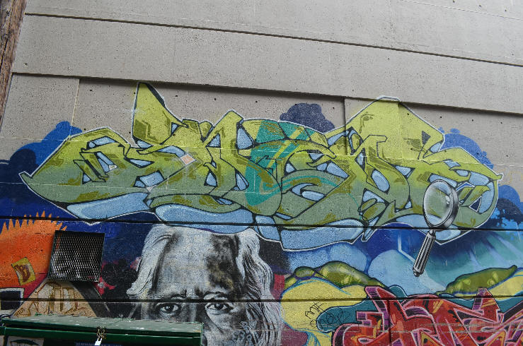
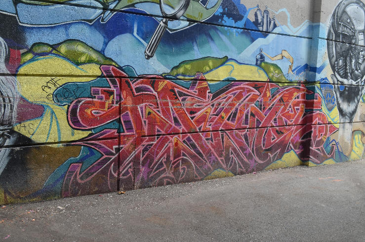
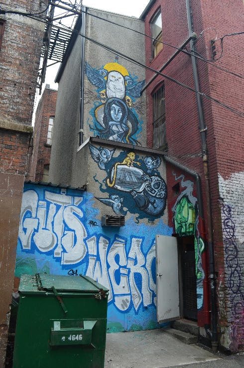
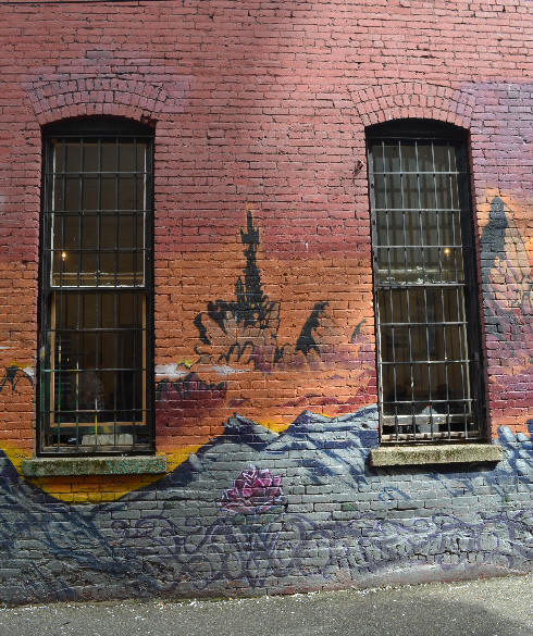
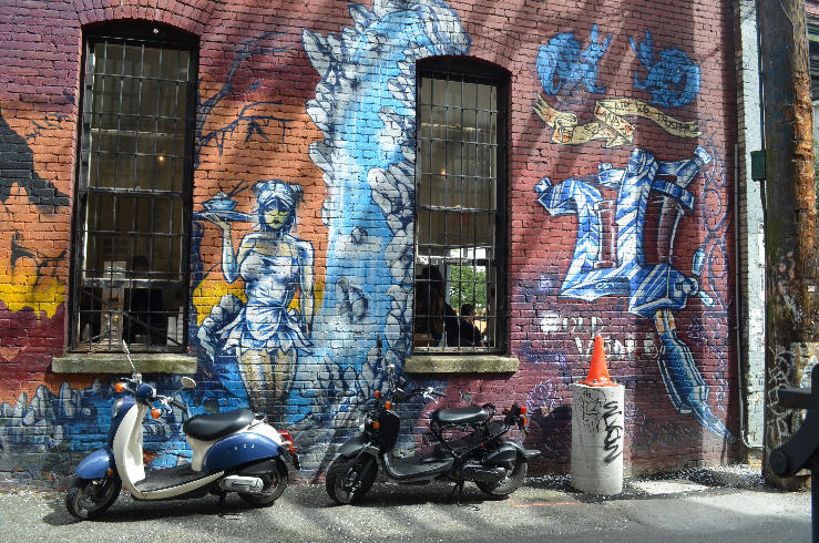
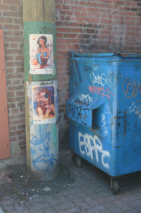
Other more ordinary alleys feature gritty artwork too.
Upon exiting the alley head north, past Blood Alley, on Carrall Street
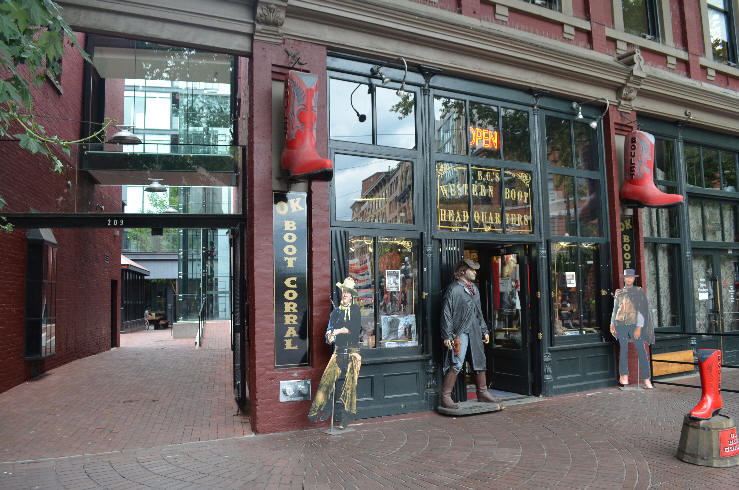
The OK Boot Corral just south of Maple Tree Square. That's Blood Alley (currently being redesigned again) on the left featuring more glass than it used to have.
Maple Tree Square is overlooked by the statue of Gassy Jack standing on a barrel.
The first unofficial non-indigenous name of the city was Gassy's Town (now Gastown) named after Gassy Jack. There wasn't much in the way of official written record at the time so his story is essentially legend; What is known is that he owned a pub in New Westminster called the Globe. It failed when he was out of town and a partner gave away free libation all day on July 4th. When he moved into this city he convinced thirsty locals to build him a hotel from which he successfully plied his alcoholic liquid refreshment.
Across Maple Tree Square, with the red canopies, was Chill Winston Restaurant, closed in 2017. Beside them, to the right, is Alexander Street. East on Alexander Street is the desired eventual direction whether at this juncture, or one block east of where you stand.
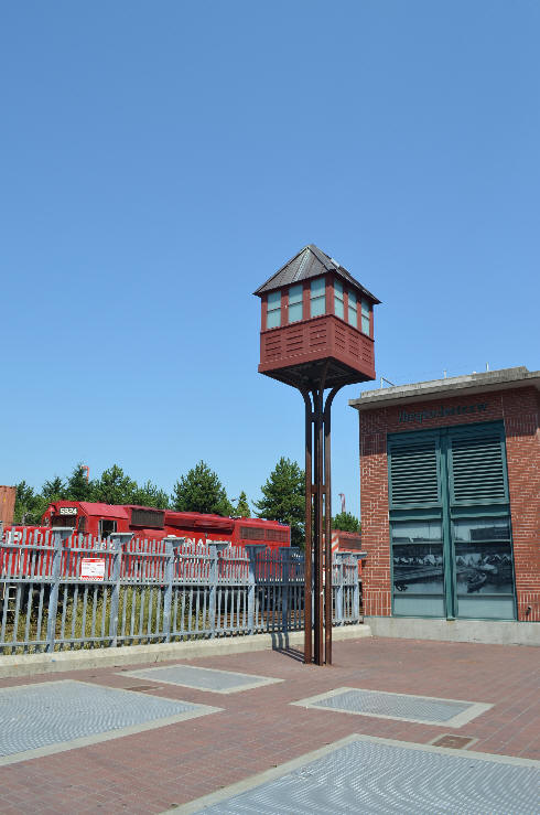
2. The Working Harbour.
This is where the second Footprints mosaic The Working Harbour once was. It's missing. It was laid, in 2003, at Alexander at the foot of Columbia but then was removed for placement of a Greater Vancouver Regional District (GVRD) artwork titled To Connect. The GVRD intention was to relocate the mosaic elsewhere but so far there's no word on where it is. There's plenty of room on the nearby sidewalks to place the mosaic at the same location that all 3 governments originally agreed upon. This was the only Carnegie mosaic located in Gastown, so, with it missing, there's no reason for the original walking tour to traverse this important first step of Vancouver's origin.
The pump house building in the background, and the area around it, is an art work entitled To Connect. There's no available info on the name of the tall foreground structure but it clearly symbolizes the old Columbia Street CPR Gate House that stood here for so many years dropping and raising the gate across the street, when trains crossed. It's operator safeguarded vehicular traffic into the yard. The arrival of the Canadian Pacific Railway (CPR) in 1889 was one of the most significant events in early Vancouver history.
Pump house details.
Head east further on Alexander Street until you get to Main Street.
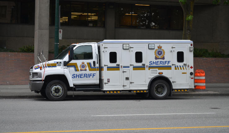
Main Street Police Vehicle
Does this look like the police cars in your neighbourhood?
Wastings and Pain; a video by Karl, street photographer and videographer.
"You cannot displace people, you have to give them the space to fucking grow" - Kirk 30:40
Schizophrenia - New research indicates that voices in one's head shouldn't be fought or drugged but rather listened to and responded to appropriately.
The light never goes out.
The War on drugs fails to limit drug use in Vancouver. A UBC report, no longer available online, found that declines in drug use are associated with harm reduction services, not law enforcement efforts
"We request that Providence Health Care take immediate steps to provide ongoing diacetylmorphine treatment for participants concluding the SALOME study by applying for and supporting Special Access to diacetylmorphine, and begin planning for a pilot program for providing this treatment to the community at large." - Canadian Drug Policy Coalition
Hope In Shadows annual street photo contest & calendar on flickr
Turn north over the overpass at the foot of Main Street and Crab park will come up on the right. The next two mosaics are found at the outer rim of Crab Park.
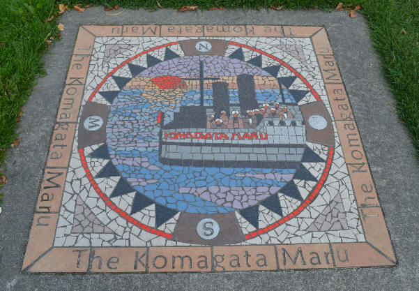
3. The Komagata Maru, Main Street in Portside (Crab) Park
A ship is anchored against water moving with the tide. The sun sets over the horizon, silhouetting the men on deck looking to shore�
At variance with Canada�s xenophobic immigration policies the ship Komagata Maru, bearing 350, mostly Sikh, Punjabis wanting to reunite with their families, was stranded in Burrard Inlet from May 1914 throughout the summer and then ordered out of Canadian waters. They complied only when the Canadian Naval Cruiser Rainbow trained its guns on them. When they arrived back in India the British shot and killed 20 of them.
The next mosaic is just slightly uphill from this one.
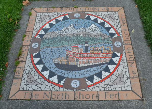
4. North Shore Ferry, Crab (Portside) Park
The snow peaked Lions across Burrard Inlet, sentinels looking over the harbour, old ferry number 2, steadily, slowly, moves to the south shore.
Before the bridge crossings were built, Ferry #2, aka Old Faithful, was the first car ferry to cross the inlet. Fondly remembered it carried an estimated 2 million vehicles, and 30 million people, during its 33 year service.
The Awesome History of the long-forgotten North Shore Ferries
During the summer marginalization takes on a literal sense in this park as the street people sit around the perimeter watching the wedding photos and other gatherings.
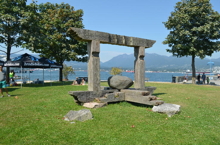
An aging wooden gateway with a rock in the middle.
Downtown Westside
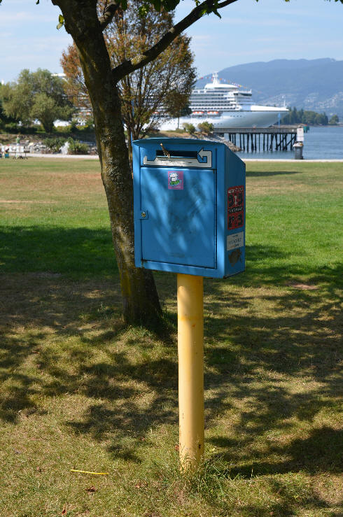
"Make it your gig, to return your rig." A used drug needle box.
Exit the park the same way that you came to main street and head one block further east along Alexander.
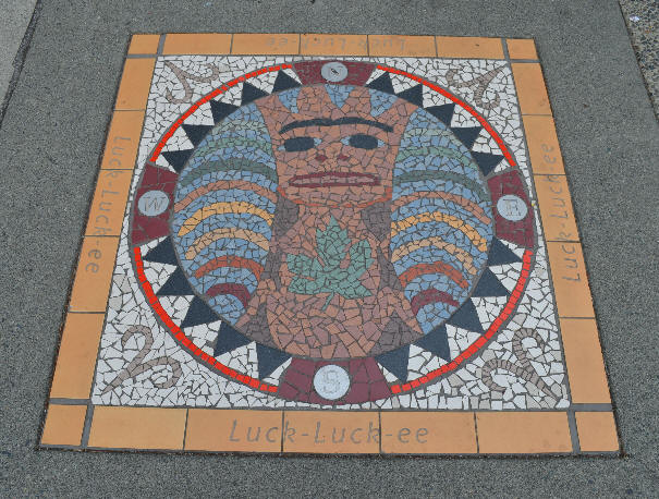
5. Luck-Luck-ee, Alexander at Gore
�a stylized maple tree represents the four seasons, and holds the image of a feminine figure. To the First Peoples, trees are feminine�
North Shore First Nations people would arrive, by canoe, to hunt at a shallow sandy beach surrounded by maple trees. They gave Vancouver its first name: Luck-Luck-ee or �Grove of beautiful trees�.
Early settlers coined a new name for the same area: �Skid Row�. Gore street was originally the dogfish oil lubricated logging skid road down which oxen pulled logs.
Head downhill along Railway Street (not Alexander) and right slightly up Dunlevy Ave.
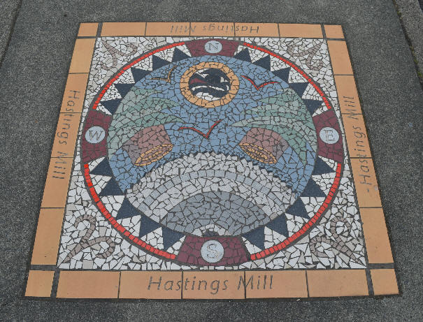
6. Hastings Mill, Railway at Dunlevy
�fir trees and a spinning blade, birds on the wing and symbolic First Nations moon�
Captain Stamps Mill became Hastings Mill in 1885. The timber license comprised much of downtown Vancouver and the Mill's employment comprised much of Vancouver�s early history.
Across the street sits a building that is said to be one of the first in Vancouver to have running water.
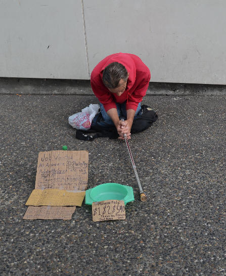
Lorne Loiselle in a dramatic pose that accurately portrays the need.
He enjoys being happy (too).
Consider all of the times that you've passed by someone holding their hat out for money and thought that you'd make a donation if you could only be assured that it wasn't going towards a bottle or a fix. With all those occasions in mind here are some Downtown East Side Charitable Resources to whom donations can be made right now:
Donate: Housing/Shelter Organizations


Everything Good about Everything Good
"There is no way to be pointed out save [except] the 'I AM'
It is the birth of the spirit." - Edgar Cayce Reading 262-10